Mapping Papua New Guinea
The map right shows an early image of New Guinea and includes Magellan's ship Victoria celebrating his circumnavigation of the globe. The map was produced by the famous Dutch cartographer Abraham Ortelius in 1689 and was included in his atlas Theatri orbis terrarum. Europeans were unsure of the extent of the legendary Great South land below the equator.
The eastern half of the mainland of New Guinea was first explored by the Spanish and Portuguese in the 16th century.
Papua New Guinea is one of Australia's closests neighbours, lying 160 kilometres north of Cape York but only 4 kilometres from the northern most island of the Torres Strait. It comprises the eastern half of the island of New Guinea and 600 offshore islands. It covers approximately 465,000 square kilometres, making it the second largest country in the South Pacific after Australia.
The principal island of Papua New Guinea was found by European explorers around 1526-27 by Don Jorge de Meneses. Although European navigators visited and explored the Papua New Guinea islands for the next 170 years, little was known of the Papua New Guinea inhabitants until the late 19th century.
Maps below show the known Oceania region, including Australia, New Zealand, Papua New Guinea, South East Asia and the islands of Oceania in the Pacific Ocean.
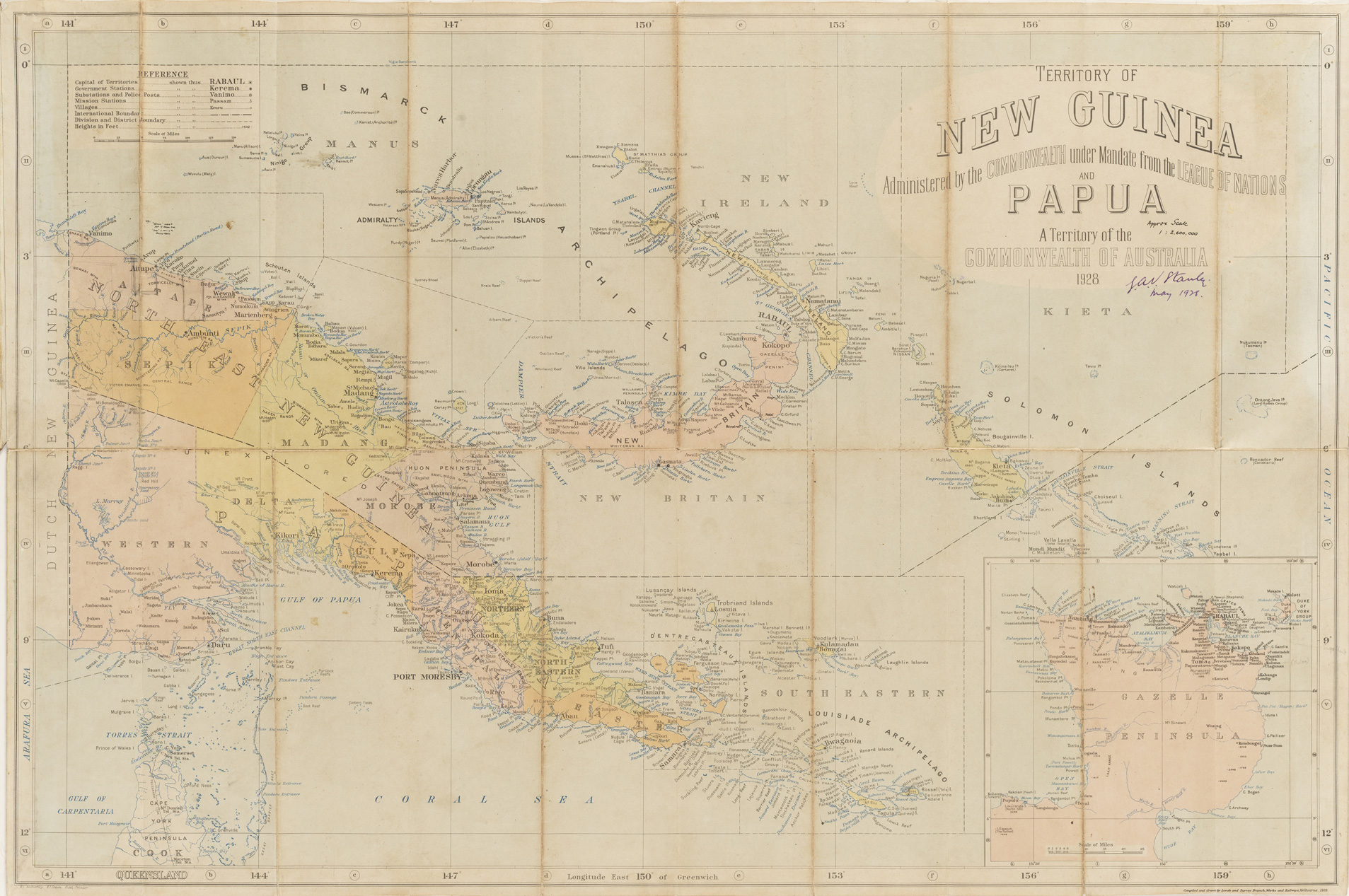
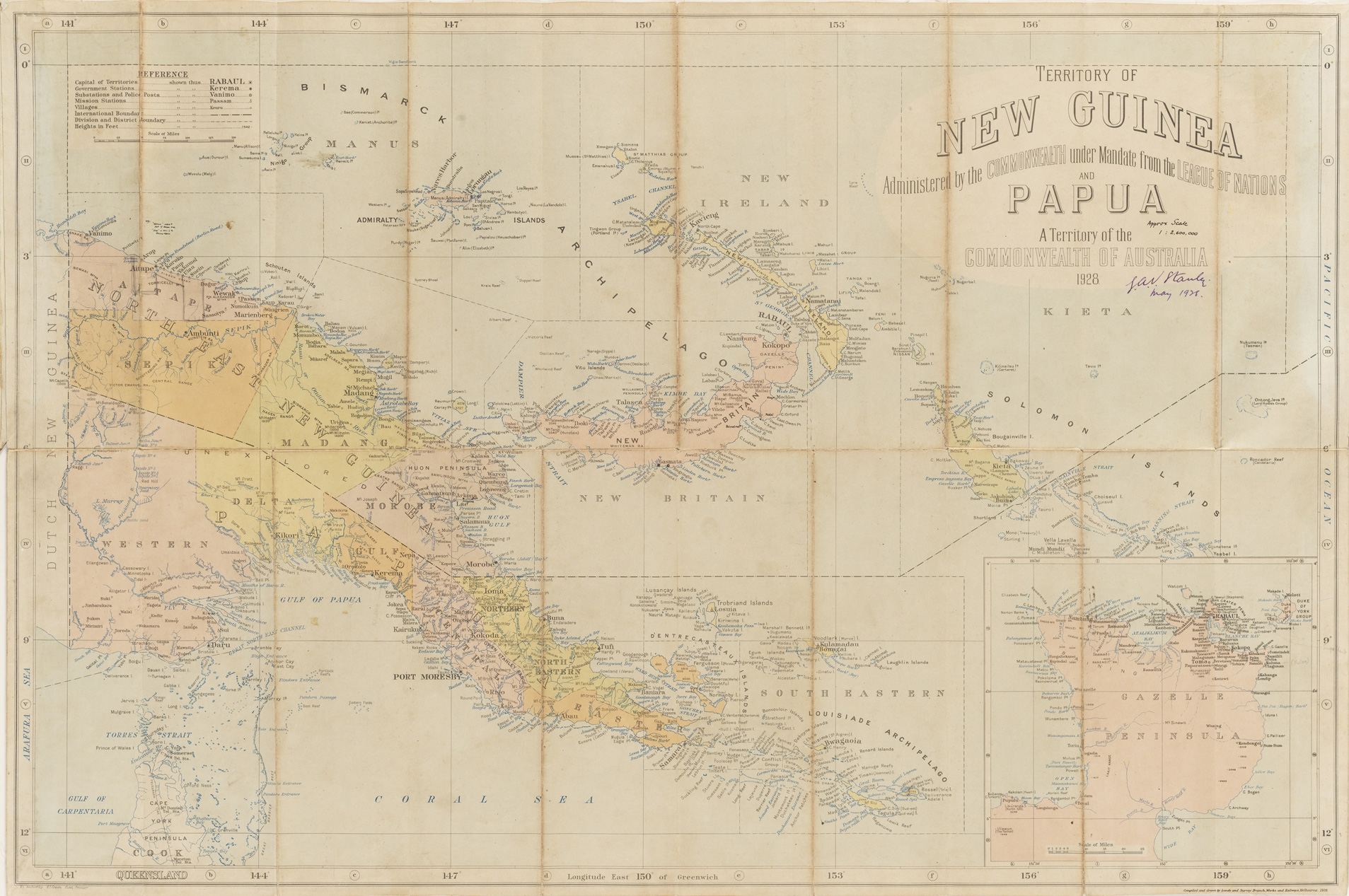
Mapping Papua New Guinea remained difficult until the 1970s. Prior to this, large areas had not been explored, and the geography of the mountainous highlands and off shore islands was known from only a few occasional surveys. The lack of knowledge was not surprising given the combination of rugged inaccessible mountains, dense jungle cover, wet tropical climate and, in the early days, hostile and warlike tribes.
When aerial photography became more prevalent in the 1950s it was possible to begin mapping the whole country. Even so, continual cloud cover frustrated efforts to photograph many highland areas, until radar imagery became available in 1971.


Learning activity
Australia's global connections - Papua New Guinea
Students explore countries of the Asia region and the connections Australia has with other countries across the world.


